Here's What People Thought Earth Looked Like Before We Finally Saw It
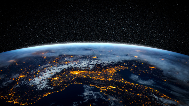
The Earth is around 4.5 billion years old, according to National Geographic, but Homo sapiens have only been walking around on it for 200,000 of those years, according to Universe Today. And although we've been on this space rock for 200 millennia, it was only within the past 60 years that we finally sent a human high enough into space that he could look down and see for himself what the Earth actually looked like. And as it turned out, the Earth looked pretty much exactly how everyone expected it to.
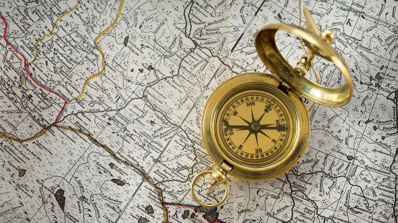
That's because, as Factinate reports, the ancients had figured out that the Earth was round thousands of years before Columbus got lost trying to circumnavigate it. And on the subject of navigation, seafarers had worked out crude — dare we say, borderline nonsensical — maps of the continents centuries ago, but they got steadily more sophisticated to the point that, when Yuri Gagarin went up into space in 1961, everything on the ground looked just about like it did on maps that had been around for centuries.
Humans had figured out what the Earth looked like — both its general size and shape, and the general outlines of the continents — centuries before spaceflight and satellites became things.
The ancients knew the earth was round, and had its size roughly figured out too
You may have believed at one time that, prior to Columbus' voyage in 1492 in which he tried to sail around the globe, that humans believed the Earth was flat. However, that was and is a historical myth: neither Columbus nor anyone else thought the Earth was flat, and indeed, they'd known it was round for thousands of years.
It's impossible to say who first figured out that the Earth is round, but the Ancient Greeks were the first to write it down. Specifically, as BBC News notes, the philosopher Aristotle had it all figured out by the 4th century BCE, having explained to his students that the stars appear in different positions in the sky based on the observer's location on the ground; ergo, the Earth is round.
A couple of centuries later, Eratosthenes did some observations and calculations and came up with a remarkably accurate (for the time) estimate of the size of the Earth. As Nicholas Nicastro wrote in his book, "Circumference," the geographer's estimate was only off by about 2.4 percent.
It wasn't just the educated who knew that the Earth was round, however. Even the lowliest cabin boy on a sailing ship would have noted that the top of a mountain is visible first as you sail towards it. Similarly, the lowliest dock worker would have noticed that the tops of tall sailing ships are visible first as the vessel sails into port.
Our understanding of the continents took a little longer
Though we had the rough idea of the size and shape of the Earth figured out thousands of years ago, accurate maps of the continents only go back a couple of centuries.
As Atlas Obscura notes, in the 1400s, a Portuguese monk by the name of Fra Mauro harassed sailors taking port in Venice, gathering reports of their journeys, scouring their notes, and most importantly, looking at their maps. He then compiled his findings into the famed Fra Mauro map, an intricately detailed map of the continents ... that looks absolutely nothing like the real thing. Half a century later, Columbus would get lost on his way to India, discover a whole new set of continents, and throw everything into even further chaos.
Over the centuries, however, seafaring and map-making both got more sophisticated, and by 1602, according to MPR News, the Kunyu Wanguo Quantu map had been produced. The Chinese map, if slightly crude, bears remarkable similarity to what you would see on Google Earth.
Fast forward three and half more centuries, and by the time Yuri Gagarin blasted off into space, the maps that depicted what was on the ground beneath him were so accurate that what he saw with his own eyes was exactly what he'd expected to see.


