Facts About The 168 Newly-Discovered Ancient Nazca Lines In Peru
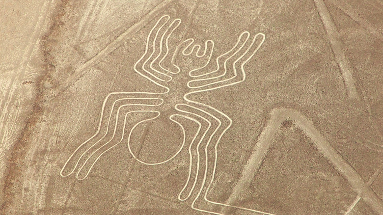
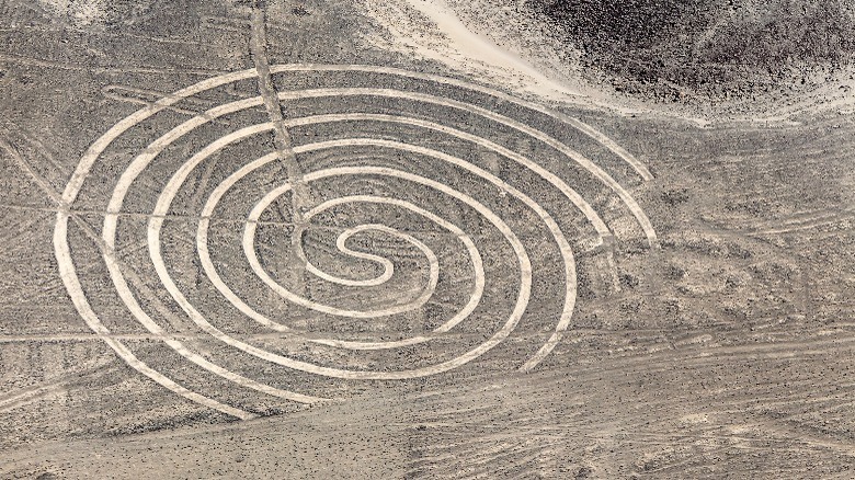
Just when it starts to feel like there are no unexplored places left on Earth, someone proves that isn't true. Researchers have recently discovered new geoglyphs in Peru's Nazca desert plain, on the southern Pacific coast (via CNN). This brings the number of discovered "drawings" in the area to 358, per Live Science. The newly-found ones, 168 total, were created between 100 B.C. and 300 A.D., researchers estimate. They represent figures like humans, killer whales, birds, and snakes, per NPR. Some of the previously-found images represent imaginary creatures, plants, and geometric shapes, according to UNESCO.
The geoglyphs were created by the Nazca people, a pre-Incan culture that lived in the area. They're known for having advanced systems to bring water to the Earth's surface for irrigation (via Live Science). According to NPR, the Nazca made many of the images by removing black stone from the ground's surface to expose the white sand underneath. Though more visible from the air, they can also be seen from the ground, per Live Science.
The researchers' discoveries
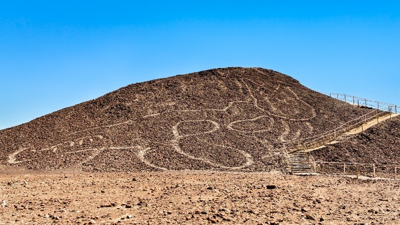
The newly-found geoglyphs were discovered through surveys of the area using aerial photography and drones. A team from Yamagata University in Japan coordinated with Peruvian archaeologists to carry out the survey. The 168 newly-found geoglyphs are made up of almost 1,000 lines (via Hyperallergic). Some of these were made by stacking up rocks rather than removing them, per Live Science. One of them is a giant cat (pictured), while another represents a headless figure whose head is rolling away. Professor Masato Sakai of Yamagata University thinks this may represent a Nazca ritual, (via Live Science).
They are mostly small compared to other geoglyphs — between 6 and 20 feet long — according to CNN, which makes them easier to see from the ground than bigger ones. However, many are fainter than the previously-discovered lines, which made them harder to spot. The team used high-resolution imagery to find them. They're also spread over such a large area that it's hard to survey thoroughly, per CNN. Most are in a 290-square mile protected archaeological area, a UNESCO World Heritage site (via Hyperallergic).
The lines' past and future
The research team is promoting the creation of a new archaeological park to further safeguard the lines, according to Live Science. They also hope artificial intelligence will help them map out more lines, which may also help protect them. They're concerned because the lines have been damaged before. The 1937 construction of the Pan-American highway disrupted some of them, according to Hyperallergic. More recently, Greenpeace members damaged some of the lines when they staged a protest by putting large yellow signs on the archeological site to spell out a message (via NPR). In 2018, a truck driver drove through some of the lines. Per CNN, Sakai is worried that proposed mining projects and urban development may also threaten them. Previously, UNESCO says, the area has remained in its original, unchanged natural condition.
Over years, there's been plenty of speculation about the geoglyphs' meaning. Some popular theories are that they represent constellations or have some other astrological significance, possibly linked to Nazca rituals (via Hyperallergic). Live Science hypothesizes that the rituals may relate to water, an important resource in the dry area. The geoglyphs could also have been part of a pilgrimage, with the lines leading to sacred places. With no surviving written records from the Nazca culture, we'll never know for sure.


