The Mayan City That Used A Modern Form Of City Planning
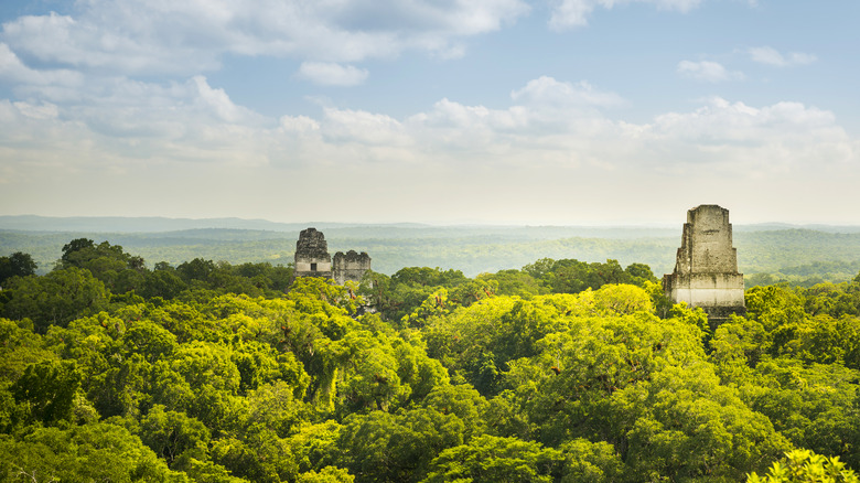
It can be difficult to look at the thick jungles nestling Mayan pyramids and picture a once bustling civilization. Now dominated by swarms of foliage, howling monkeys, and a chorus of birds, the ruins seem to hold more mysteries than answers. But a discovery on Lake Petén Itzá in Guatemala has brought the esoteric closer to the familiar. Nixtun-Ch'ich (translated to "the rocky place") is a 1-square-mile city that lacks the grandeur of the surrounding sites, yet its compact nature bespeaks efficiency rather than simplicity (per Archaeology Magazine). One can still notice that as the Maya constructed their cities, the spaced-apart structures lacked long-range planning. The grid-like pattern of our modern, Western cities did not exist in most Mayan metropolises (via Canadian Museum of History), but the 2,500-year-old city of Nixtun-Ch'ich stands as a pointed exception to the rule.
Timothy Pugh from Queens College New York first explored the area in 1995, trudging through the tall grasses that encompassed the stone structures (via Archaeology Magazine). He and his team at Southern Illinois University had mapped the area, but he returned in 2013 to update the map with new equipment. In the end, it revealed that the city was arranged in straight lines, which stunned those involved in the study. Given how it differed from a typical Mayan city, they initially believed it may have been a foreign construct, . But with the acceptance of the find came new questions: Who built it, and what was its purpose?
History of Mayan Cities
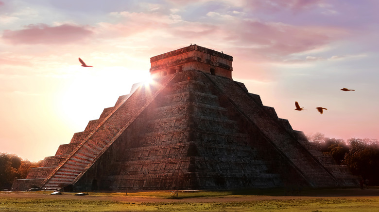
The Ancient Maya's first settlements began around 1500 B.C., and by their rise to civilization in 250 B.C., they reached across Mexico, Guatemala, and Belize (via Britannica). It lasted until a rapid decline occurred around A.D. 900. At its peak, however, they had 40 cities with populations ranging from 5,000 to 50,000; Tikal and Palenque were among the most recognizable of the major cities. Known for their step pyramids and advanced irrigation systems, the Maya were pioneers of their time, making their collapse even more mysterious. Yet conflicts between Mayan cities and the overuse of resources have been cited as possible causes of their demise.
Because of the unplanned nature of the cities, the boundaries between them are not always clear, but it is known that each one had a god-like leader reigning over each autonomous territory. The palaces, temple pyramids, and house mounds stood in the vicinity of courtyards and plazas, with elites inhabiting the temples. The middle class was farther from the city center and lived in humble dwellings, and the lower class was farther still from the city center. Since the middle class produced valuable goods, some believe there was frequent collaboration between them and the elites, per World History Encyclopedia. Indeed, the discovery of Nixtun Ch'ich's grid system has brought to the forefront questions of whether the Maya were caste-like or cooperative between classes (via Cambridge University Press).
Was Nixtun-Ch'ch a Cooperative Society?
Although the Maya had many rulers, it's uncertain who reigned over Nixtun-Ch'ich. Timothy Pugh told Live Science, "It's a top-down organization. Some sort of really, really, powerful ruler had to put this together." In his study, published by Cambridge University Press, Pugh didn't fully endorse the top-down theory of the city's economy and instead highlighted the amount of cooperation needed for such a complex urban plan. The study emphasizes that there's a lack of evidence for a "rulership cult," even if such plans should seemingly require it.
For now, a central ruler for Nixtun-Ch'ich is shadowed in history. Left behind are traces that give us insights into their innovations. Fifteen buildings of the city were arranged in a straight line, which served as a ceremonial area and included 100-foot-high pyramids. The buildings were coated in a white plaster that would have given the city a pearly shine. Its eastward orientation made it a pathway to the sun, almost like an ancient highway to heaven. Thus, it's easy to imagine the gridded city with an ecclesiastical aura, one where people climbed pristine pyramids and gazed upon avenues of sunlight. But the city was also defensive and fortified with a wall of earth and stone, per Live Science.
Today, it is still protected by ranchers who live nearby and protect the site. For researchers, this offers a chance to glean more information on its history in the coming years.


